
Map Your Ranch with the Regrarians 10 Layers
Plan in the right order so early decisions don't block later ones.
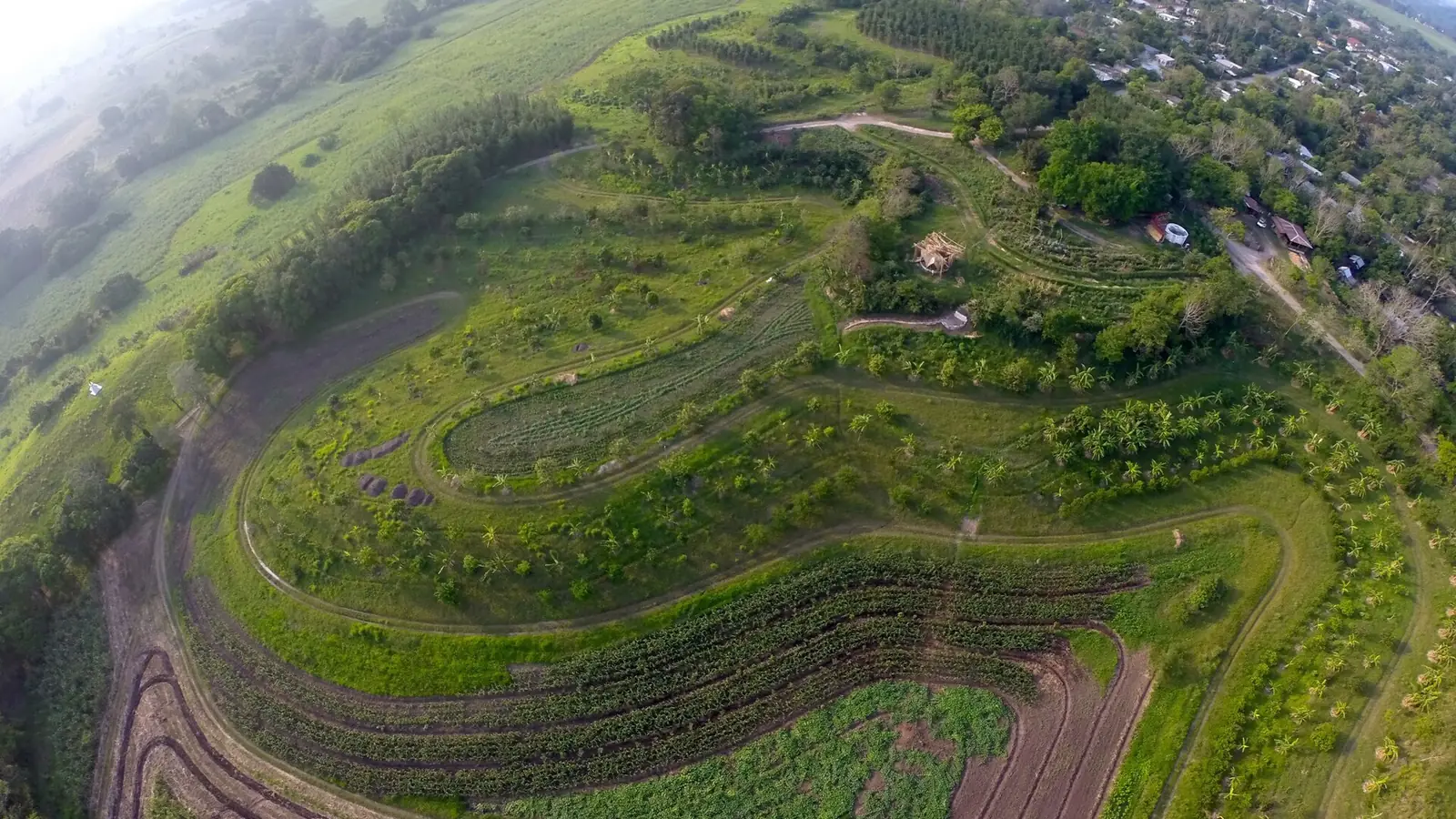

The Regrarians Platform orders farm planning from the least changeable to the most changeable, building on P.A. Yeomans' Keyline Scale of Permanence. Plan in this order and your water, roads and fences work together.
The 10 layers
- Climate — rainfall, seasons, frost, fire risk.
- Geography — landform, ridges, valleys, keypoints.
- Water — dams, ponds, keyline patterns, stock water.
- Access — roads and tracks, ideally on ridges.
- Forestry — shelterbelts, riparian, silvopasture.
- Buildings — barns, yards, handling facilities.
- Fencing — paddocks that follow land and water, not survey lines.
- Soils — biology, structure, cover.
- Economy — enterprises, markets, cash flow.
- Energy — power for pumps, fences and buildings.
Do it this weekend
- Print an aerial image of your place (Google Earth) and a contour map.
- Use tracing-paper overlays, one per layer, in order.
- Mark ridges and valleys; find where water could be slowed and stored.
- Put roads on ridges and fences where they help water and grazing.
- Write down the first 3 projects in layer order.
Go deeper: Water for Every Farm (Yeomans), the Regrarians Handbook, or REX Online.
Free: Grant Starter Kit
Checklists and templates for EQIP, SARE and Zero Foodprint applications.